


Video: Inside ATFP Gala 2013
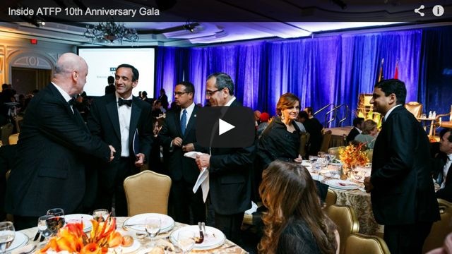
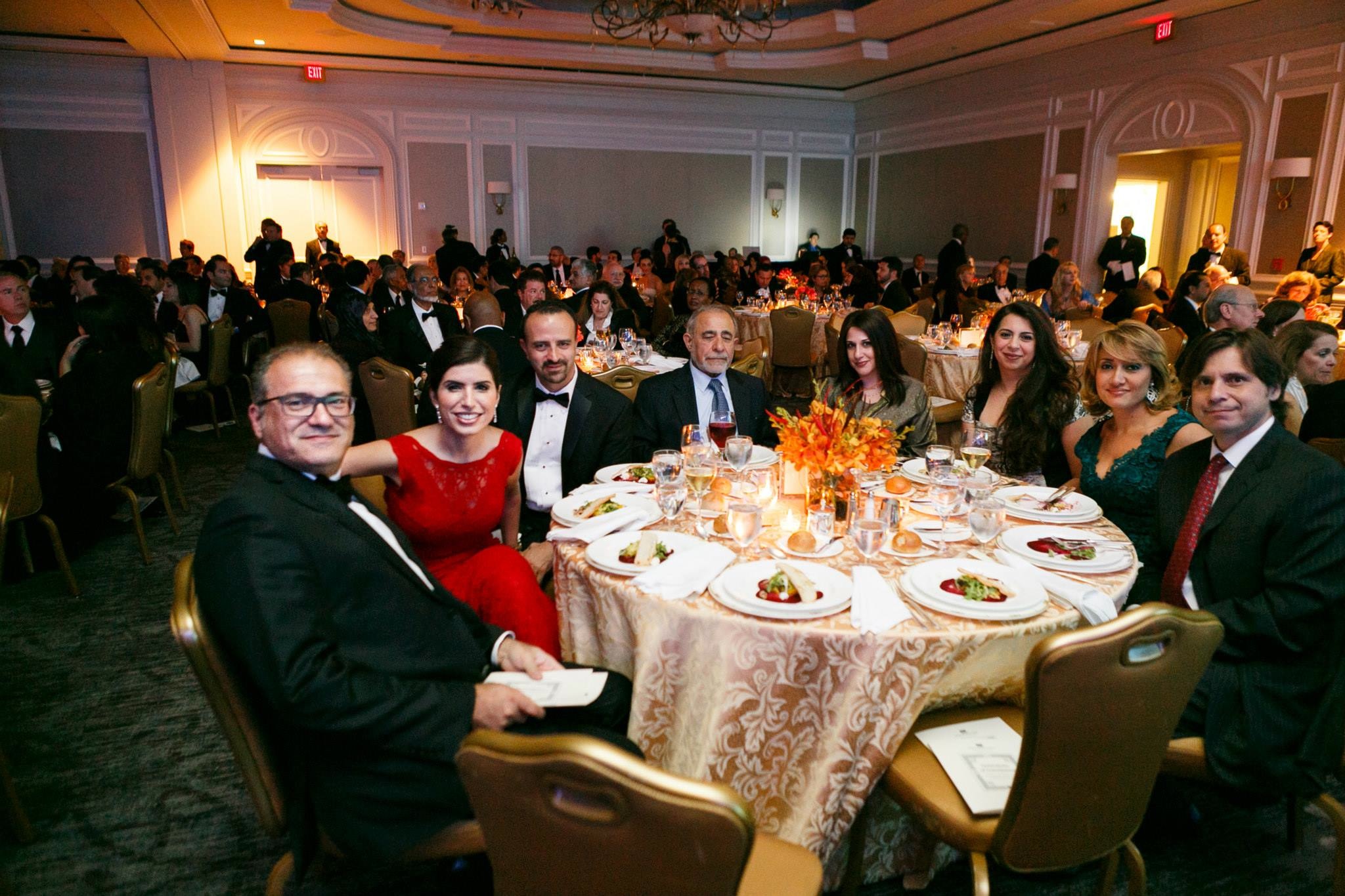
Photo Gallery: ATFP Gala 2013


Isabel Kershner
The New York Times
September 6, 2011 - 12:00am
http://www.nytimes.com/2011/09/07/world/middleeast/07borders.html?_r=1&ref=middl...
TAGS:
The New York Times
September 6, 2011 - 12:00am
http://www.nytimes.com/2011/09/07/world/middleeast/07borders.html?_r=1&ref=middl...
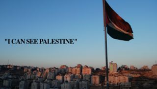
BARTAA, West Bank — For decades Israel has tried to erase from public consciousness the Green Line, the pre-1967 boundary with the West Bank at the heart of stalled negotiations for a Palestinian state.
Israel has built on either side of the Green Line and deleted it from textbooks and weather maps. Israeli drivers plying the main Tel Aviv-Jerusalem highway crisscross the unmarked line at the Latrun Interchange every second of the day, slicing through half a mile of West Bank territory and several more miles of no man’s land, oblivious to the area’s fraught history.
In Jerusalem, where Israel annexed the eastern part of the city and its holy sites after the 1967 war, a new light rail system traverses a patchwork of Jewish and Palestinian neighborhoods, gliding blithely across the invisible boundaries.
Yet a recent journey along the line, from the northernmost Jalama checkpoint to the tiny villages of Al Ghuwein and Sansana in the arid hills of the south, shows that despite attempts to blur it physically, Israel has carefully preserved the line in legal and administrative terms, and it defines lives on both sides.
The Obama administration has called for negotiations for a Palestinian state with borders based on the 1967 boundaries, with mutually agreed land swaps. In the absence of talks, the Palestinian leadership plans to seek recognition of statehood within the 1967 borders at the United Nations this month.
Israel rejects the Green Line as indefensible. At its narrowest point from the Mediterranean coast to the line, Israel is only about nine miles wide — a two-minute helicopter ride. Compounding Israelis’ sense of vulnerability, the coastal plain fringed by the pre-1967 boundary rises up into a commanding mountain ridge running through the West Bank, which fell on the Arab-held side of the line until Israel occupied the territory after the 1967 war and placed it under military rule.
Successive Israeli governments established Jewish settlements on the West Bank hilltops, encouraged by Israeli religious nationalists who claim the area as part of their biblical birthright. For Palestinian officials emboldened by the rise of Palestinian nationalism, what began as a temporary cease-fire line has become holy.
“If the Israelis do not recognize this line,” said Nazmi al-Jubeh, a Palestinian historian and a former negotiator, “it means that they do not recognize the territory beyond it as occupied.”
Yet many Palestinians still harbor claims to the land on the Israeli side and reject any partition of the pre-1948 British Mandate of Palestine.
Driving the Green Line is like weaving a path between parallel universes, along a seam that is both present and absent, and that fuses and divides.
Invisible Wall
The Green Line was delineated as Israeli and Jordanian officers negotiated an armistice in the months after the 1948 Arab-Israeli war; it was named for the green marker with which it was drawn. The line held until 1967, when Israel captured the West Bank and East Jerusalem from Jordan, along with the Egyptian-held Gaza Strip and the Syrian Golan Heights.
While the boundary largely separates the Israelis from the Palestinians, about 1.5 million Palestinian Arabs are citizens of Israel, and more than 500,000 Israeli Jews now live east of the Green Line.
But for the Palestinians, the old line already serves as a virtual border, though one without a state on the other side.
Here in Bartaa, a northern Arab village that straddles the Green Line in the area known as Wadi Ara, one encounters a quirky reality where the Green Line is alternately ignored and enforced — a paradox that, by extension, can be applied to the entire land.
Bartaa’s market spreads across a narrow valley that is dissected by crossroads. It is a riot of noise and color, with stores displaying gaudy evening gowns and plastic toys strung above the sidewalks. Only a well-informed traveler would know that the eastern half of the market sits in the West Bank, and the western half in Israel.
The Green Line runs, unmarked, right through the market, an imaginary wall separating two parts of a village that has long been inhabited by one extended family, the Kabha clan.
With Israel’s conquest of the West Bank in 1967, the hostile frontier evaporated and the two parts of Bartaa were reunited, the western part being part of Israel and the eastern part falling under Israeli military rule. Then, when Israel constructed the West Bank security barrier, which it said was essential to prevent suicide bombers, it looped the fence east of Bartaa, deeper into the West Bank territory. Although Palestinians see the barrier as a land grab, in this particular case, the villagers accepted it as the lesser of two evils, to prevent them from being redivided.
Israeli Jews and Arabs pour into West Bank Bartaa on weekends to take advantage of the lower prices. But since the 1990s, when Israel began requiring permits for the entry of Palestinians and tightened security measures as a result of terrorism, the West Bank Kabhas have been prohibited from crossing over the road into Israel.
Many in West Bank Bartaa have gotten around the problem by marrying relatives on the Israeli side, which gives them a different status. But others, like Abed Kabha, a Palestinian born here in 1967 who runs a grocery store on the West Bank side, have to apply for special permits to enter Israel. They say they stick to their own side of the village for fear of being caught by Israeli border police patrols, although the Israeli military authorities say that within Bartaa, they tend to turn a blind eye.
Until 12 years ago, Mr. Kabha worked in gardening in the Tel Aviv area. Now, he says, he crosses the market only “for weddings and funerals.”
Worlds Apart
For many Israelis, being near or just over the Green Line is a matter of little consequence — so much so that some Israelis are not always sure which side they are on. By contrast, Palestinians living near the line are mindful of every inch of soil.
In the late 1990s, four idealists from the Tel Aviv area approached Ariel Sharon, then a government minister, with the idea of establishing a new community on the sandy dunes of Halutza in the Negev Desert, in southern Israel. Mr. Sharon sent them to a former army base called Sansana in the Negev. Like the forests that Israel planted there, the abandoned barracks hugged the Israeli side of the Green Line. But according to Eliram Azulai, 34, the secretary of Sansana, it soon transpired that the plan was to expand the village into the West Bank.
Mr. Azulai and his neighbors, many of whom are doctors or work in high-technology industries, unwittingly became settlers as Sansana grew to incorporate an adjacent West Bank hilltop. Mr. Azulai said that at the time “nobody asked questions.” Being sent to live on the Green Line, or across it, he said, “was not an issue.”
Sansana is a rare case of an Israeli community that straddles the Green Line. But even here, Israel has scrupulously maintained the administrative distinction. The 50 prefabricated homes on the Israeli side of the village were authorized by a district committee in southern Israel. The 60 permanent homes going up on the West Bank side had to be approved by the Israeli military and the Ministry of Defense.
Not far from Sansana, in the sparsely populated hills south of Hebron in the West Bank, lies Upper Ghuwein, an unofficial Palestinian encampment. Here, two extended families graze sheep and goats and tease crops from the parched earth. Half a mile away, the fence, part of Israel’s barrier, courses along the Green Line where the beige earth meets Israeli forest. The red roofs of Shani, a small settlement, peep through the trees.
In Upper Ghuwein, by contrast with the accidental settlers of Sansana, the history of every stone, tree and contour of the land is scored into consciousness.
Khader Hawamdi, 77, recalls Israeli and Jordanian officers walking with maps in the valley below, marking the armistice line with barrels. He says the villagers were told to move to this point, farther up the hill.
But Upper Ghuwein was never recognized by the Israeli authorities. Its residents cannot get building permits, so they live in temporary shacks and their original cave dwellings. Only recently, the Palestinian Authority, which now governs certain aspects of the Palestinians’ lives in the West Bank, hooked up the village to electricity. Children as young as 5 walk about four miles to the nearest school in the Palestinian village of Samua.
The clans here claim vast amounts of ancestral land on either side of the Green Line, and concepts like borders and statehood have little meaning. They cling to the place despite the hardship.
“We stay here,” said Khawla Ismail Daghamin, 37, a weathered mother of 10, “because if we leave, the Jews will take the land.”
Refugees Close to Home
All along the line are stories of Palestinian resentment and nostalgia for what was left behind. But in this complex area, nothing remains static for long.
The village of Walajeh nestles in the terraced hills between Jerusalem and Bethlehem, just across the Green Line in the West Bank, straddling the Jerusalem city limits. Its residents crossed into Jordanian-held territory during the fighting in 1948, when the original village, in what is now Israel, came under attack from the Zionist forces.
Until the 1967 war, said Muhammad Abu al-Tin, 60, “people thought they still might go back.”
Then, when the reality of the Arab defeat finally set in, he said, the villagers built permanent houses on the village lands on the West Bank side, having become refugees within sight of their former homes. “At night people would sneak back to see their bombed houses,” he recalled. They were later razed by Israeli bulldozers.
The Green Line still runs through the valley between the original village and the new one, marked by a section of the old Jerusalem-Jaffa railway.
Now, though, more of the village lands, and the view, are disappearing behind concrete as Israel constructs the latest section of its barrier here, separating Walajeh’s houses from Israeli territory and from the adjacent Jewish settlement of Har Gilo.
“The wall is eating up the village,” said Khaled Abu Tin, 45, another resident. “If the wall was the final border of a state, that would be one thing,” he said. “But here they change plans every year. You do not know where you are.”
Dislocation seems to be the common experience of many Israelis and Palestinians on either side of the boundary. Yet the Green Line remains the visible and invisible dividing line between two peoples and the core of the tortuous process of creating two states.
Gideon Avidor, 70, a retired Israeli brigadier general, stared out from the roof of a fort in the strategic Latrun bulge overlooking the main Tel Aviv-Jerusalem highway that was the site of one of the fiercest battles in the 1948 war. Israel eventually conquered the fort in 1967.
In theory, he said, with land swaps that would include keeping Latrun, among other places, the geography should not be a problem. The reality: First each side would have “to decide to live alongside each other, or not to be looking to expel one another, in the simplest terms.”
»
TAGS:
Recent Daily News Articles
| What is to be done between now and 2SS? | September 17, 2017 |
| The settlers will rise in power in Israel's new government | March 14, 2013 |
| Israeli Apartheid | March 14, 2013 |
| Israel forces launch arrest raids across West Bank | March 14, 2013 |
| This Court Case Was My Only Hope | March 14, 2013 |
| Netanyahu Prepares to Accept New Coalition | March 14, 2013 |
| Obama may scrap visit to Ramallah | March 14, 2013 |
| Obama’s Middle East trip: Lessons from Bill Clinton | March 14, 2013 |
| Settlers steal IDF tent erected to prevent Palestinian encampment | March 14, 2013 |
| Intifada far off | March 14, 2013 |
Recent News

.@ZiadAsali: By focusing on transition phase, good governance must top agenda to build Palestinian infrastructure
https://t.co/fL2mlkG4Y5
8 years 44 weeks ago
|
In @TheNatlInterest ATFP Pres. @ZiadAsali asks if the two-state solution still exists?
https://t.co/fL2mlkG4Y5
8 years 44 weeks ago
|
RT @Ibishblog: This is sober and correct https://t.co/217oW6j5eC
8 years 44 weeks ago
|
American Task Force on Palestine - 1634 Eye St. NW, Suite 725, Washington DC 20006 - Telephone: 202-262-0017